


Your Bend Oregon Trail Guide Is Here
Weekly go-to’s for walking, running, and training season


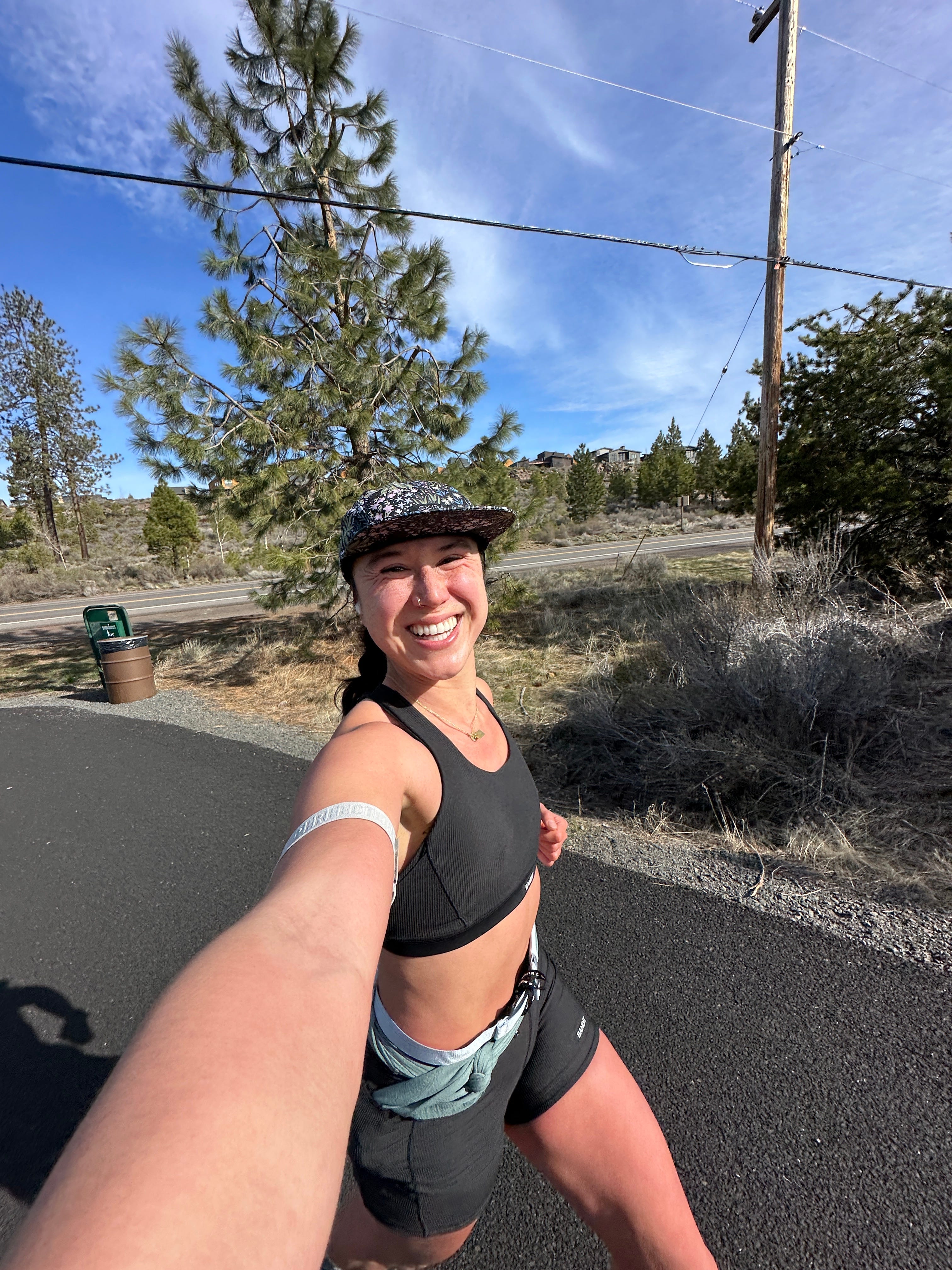
Hi Friend!! Welcome back to the Big Adventure Club. I hope you’re getting a little more sun and trail time lately because spring is finally doing its thing in Bend.
This week, I’m sharing a guide that’s taken me four years to put together: my favorite snow-free running and walking trails around town. These are my weekly go-tos for marathon training, evening hikes, solo walks, and everything in between.
This past weekend, I kicked off backpacking season with a quick 15-mile overnight into Eastern Oregon’s deserted backcountry. And this weekend, I’ll be in Eugene to race. I've already heard from a few of you who are racing too, and I can’t wait to cheer us all on.
Ready to find your next local favorite? Let’s dive in.
Trail Tales
My Favorite Snow-Free Running & Walking Trails Around Bend
The mountains around Bend are snowy nearly nine months out of the year, which means during shoulder seasons, I rely on lower elevation trails and in-town paths to get my outdoor fix. Whether I’ve got 20 minutes or two hours, these spots help me feel connected to nature without needing to venture deep into the forest.
These routes are perfect for after-work jogs, sunny lunch walks, or casual meetups with friends. They’re all within 15 minutes of town, snow-free, and full of the fresh air and peaceful views we love about Central Oregon.


Drake Park / Mirror Pond Loop
This easy, paved loop winds through the heart of downtown Bend. You’ll pass historic homes, towering trees, and ducks and geese floating peacefully in Mirror Pond. It’s especially magical in the early morning, when the town is still quiet and the water reflects the sunrise.
Path Terrain: Paved
Views: Drake Park, Mirror Pond, historic homes
Trailhead: Drake Park public parking
Distance: 1.2 miles (easy to extend)
Elevation Profile: Flat


Westside 5k Loop
One of my go-to loops when I want a scenic, straightforward, flat run. This paved 3.1-mile loop winds along the Deschutes River and takes you past the Hayden Homes Amphitheater, through the Old Mill District, and offers glimpses of Mount Bachelor in the distance. It's easy to extend with connecting trails if you're craving extra miles.
Path Terrain: Paved
Views: Deschutes River, Hayden Homes Amphitheater, The Old Mill, Mount Bachelor
Trailhead: Old Mill public parking lot, Riverbend Park
Distance: 3.1 miles (easy to extend)
Elevation Profile: Flat


Deschutes River Trail (Old Mill Reach)
A classic for a reason. This stretch of the trail follows the Deschutes River past the shops and restaurants of the Old Mill, then gently transitions into quieter, wooded sections. It’s flat, scenic, and ideal for run/walk intervals, casual hikes, or catching golden hour by the water.
Path Terrain: Paved to packed dirt trail
Views: Deschutes River, Mount Bachelor
Trailhead: Old Mill public parking lot
Distance: 4.4+ miles (easy to extend)
Elevation Profile: Rolling


First Street Rapids to Archie Briggs Canyon
This is my go-to when I want something a little more rugged but still close to home. The gravel trail winds along the canyon rim, offering peaceful Deschutes River views and a bit of elevation to keep things fun. Sunrise here is next-level, especially when the light hits the canyon walls just right.
Path Terrain: Packed gravel trail
Views: Archie Briggs Canyon, Deschutes River
Trailhead: First Street Rapids Park or Pioneer Park
Distance: 5.9 miles
Elevation Profile: Rolling hills for light challenge and variety


Tumalo State Park
Just north of town, this riverside trail is flat, peaceful, and rarely crowded on weekdays. I love it for slow weekend walks or relaxed runs when I want to feel immersed in nature without venturing too far.
It seamlessly connects to Riley Ranch Nature Reserve, making it easy to extend your outing with even more views and a change in terrain - Tumalo State Park to Riley Ranch
Path Terrain: Packed dirt trail
Views: Tumalo River
Trailhead: Tumalo State Park (state park permit required)
Distance: 1.8 miles (easy to extend)
Elevation Profile: Rolling


Riley Ranch Nature Reserve
This is a slow-it-down kind of trail. No bikes or dogs are allowed here, which keeps the energy calm and reflective. I like to come here when I want a quiet solo walk, a journal session, or just time to birdwatch and breathe. Riley Ranch connects easily to Tumalo State Park, giving you options to add miles and shift the pace - Riley Ranch to Tumalo State Park
Path Terrain: Packed dirt trail
Views: Tumalo River, Archie Briggs Canyon, Central Cascade Mountains
Trailhead: Riley Ranch Nature Reserve
Distance: 1.8 miles (easy to extend)
Elevation Profile: Rolling


Shevlin Park Loop Trail
Shevlin is such a gem. Wide dirt paths, a gentle creek, and just enough elevation gain to get your heart rate up. In the fall and spring, it’s my favorite place to run with a friend and catch up on life. You can complete the full 4.6-mile loop or opt for the shorter Tumalo Creek Loop (just under 2 miles) if you’re short on time or easing into trail running - Tumalo Creek Loop
Path Terrain: Packed dirt trail
Views: Tumalo Creek
Trailhead: Shevlin Public Parking Lot
Distance: 4.6 miles (2-mile option available)
Elevation Profile: Rolling


Pilot Butte
A true Bend classic. You can run or walk up the paved road or take the dirt trail for a loop with a bit more texture. At the summit, you’ll be rewarded with 360° views of the town and the Central Cascade peaks. It's my go-to for a quick hill workout, a sunrise boost, or a golden-hour leg burner.
Path Terrain: Packed dirt trail or paved road
Views: 360 view of Bend and the Central Cascade Mountain Range
Trailhead: Pilote Butte public parking lot
Distance: 1.8 miles
Elevation Profile: Steep uphill
Haul Trail Loop
Generally well-shaded and tucked into the forest, this trail is perfect for warmer days or when you’re craving a peaceful, tree-lined escape. You’ll dip down to the Deschutes River Trail before gradually climbing back toward the mountains. Great for a steady, scenic workout without intense elevation.
Path Terrain: Paved
Views: forested
Trailhead: Rimrock trailhead
Distance: 7.1 miles
Elevation Profile: Grandual uphill
Rimrock Trail Loop
This extended loop blends paved and dirt sections through shaded pine forest with light elevation gain. It’s a great choice for longer runs or walks when you want to stay tucked into nature without venturing too far from town.
Path Terrain: Paved to dirt trail
Views: Forested
Trailhead: Rimrock trailhead
Distance: 8.2 miles
Elevation Profile: Grandual uphill

East Side Canal Trail
A long, flat path along the east side of town, great for getting in mileage close to home. While most of the trail is peaceful and scenic, it does have a few traffic stops and one section currently closed due to private property, so some rerouting may be necessary. Still, it’s a solid option for an easy run or walk under open skies.
Path Terrain: Packed gravel trail
Views: Neighborhoods, canal
Trailhead: Blakey Park
Distance: 10.8 miles
Elevation Profile: Flat
Let me know which trail is your favorite—or if you’re planning to check one of these out soon. And if you're new to Bend or just visiting, save this post for future trail days!
Leaving Notes
I hope you’re doing well and getting a chance to enjoy some time outside. I appreciate you more than you know!
If you’re enjoying this newsletter and want to support me for free, you can:
Like this post or reply to let me know which trail you’re checking out next 💌
Share this newsletter with a friend who lives in (or is visiting!) Bend 📬
Save the trail guide so you always have a weekday adventure ready 🧭
Shop through my REI affiliate link if you're grabbing gear — it costs you nothing extra, but helps support my work 🛍
See you next week for more tips, stories, and spring adventures. And don’t forget to tag me @laurensbigadventure if you head out on one of these trails!
Happiest Outside,
Lauren 💙